School subject: GEOGRAPHY
Topic: Orientation in space using a topographic map and compass
Author: Zdravko Petek, Novi Marof Primary School, Novi Marof, Croatia
Age of students: 8th grade (14 year-olds)
Task time: 2 - 3 hours
SHORT DESCRIPTION:
The students were divided into five groups (4-5 students per group). Each group had to determine the side of the world and the azimuth of movement from the school to the given place and from the given place to the school yard using a short description of the place via a QR code, a topographic map of the city of Novi Marof and a compass, and can also use a digital compass on a smartphone.
LEARNING OBJECTIVES:
Students will be able to:
• analyze the elements of the natural and social basis on the topographic map
• use topographical maps for spatial navigation needs
• create a simple sketch of the azimuth movement
• to orient oneself in space using a topographic map and city (settlement) plan and a compass
• learn to actively listen to others and cooperate in a group
• express your own opinion with arguments
• develop the ability to observe, evaluate, describe and measure
• logically connect teaching content.
PROCEDURE:
After the students learned theoretical knowledge about topographic maps, compass and determination of azimuth in the classroom, they had practical lessons in nature. At the beginning, they have to study the short description from the QR code of the place in the settlement, where they will find the parts for setting up the tent inside the school yard (texts and QR codes were prepared by the teacher). Each group had parts of the tent in a different place in the settlement. After that, the students find a place on the topographic map with parts for setting up the tent and orientate the topographic map with the help of a compass and determine the azimuth. When they reach that place and find parts of the tent, they repeat the process of orienting the topographic map and determining the azimuth to the school yard. In the school yard, each group (5 groups) sets up its own tent and together they build a small, geographical camp of 5 tents. With the help of a topographical map and azimuth, each group makes a simple sketch of the azimuth movement on paper in their tent. When everyone has finished making a sketch in their tents, a representative of each group in the center of a small, geographical camp presents their sketch while explaining the process of making it using a topographical map.
TOOLS AND EQUIPMENT:
• topographical map, compass, smartphone, internet, paper, pencils, ruler
CONCLUSIONS: • Students had the opportunity to apply the learned, theoretical knowledge outdoors in nature.
• Students cooperated in the implementation of tasks, shared their responsibilities, worked in a team and developed communication skills, which are very useful in the implementation of tasks.
• Teacher created the lesson plan and gave and explained the tasks to the students and the ultimate goal of creating the assigned tasks.
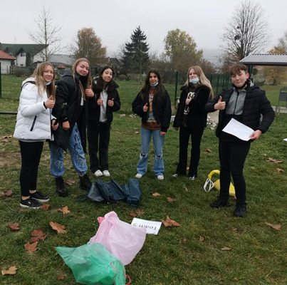
PHOTOS: