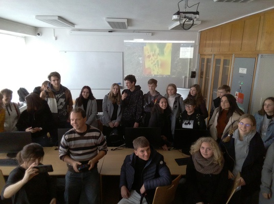
Our students involved in the project together with three Spanish students realizing their long-term mobility in Frýdlant nad Ostravicí attended a GIS workshop. They learnt how to interpolate the measured dates into a ArcGIS map.
The photo of the students and a University teacher was taken by a dron.
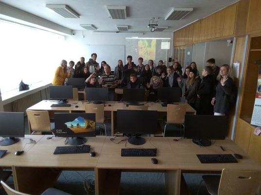
The whole group in a University classroom.
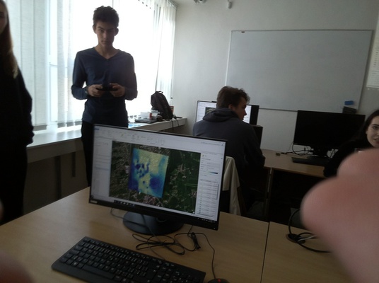
Our result.
The Spanish and the Czech classmates had to communicate in English.
THE NOISE MAP IN ARCGIS _ OUR RESULT