Dates:
12 -14 December 2018
Place:
Department of Applied Geoinformatics and Cartography,
Charles University, Faculty of Science, Prague
Content:
12/12 9:00 - 12:00
Introduction into GIS, What is Spatial data?
SW QGIS - installation and overview of tools
12/12 13:00 - 16:00
SW QGIS - vector and raster data, import/export data, WMS services, data editing
13/12 9:00 - 12:00
Data symbology + map creation
13/12 13:00 - 16:00
Data analysis in QGIS
14/12 9:00 - 12:00
Creation of interactive map in ArcGIS Online
14/12 13:00 – 14:00
Discussion
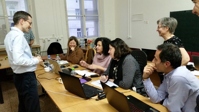
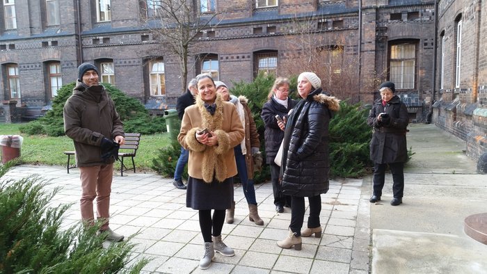
Photos:
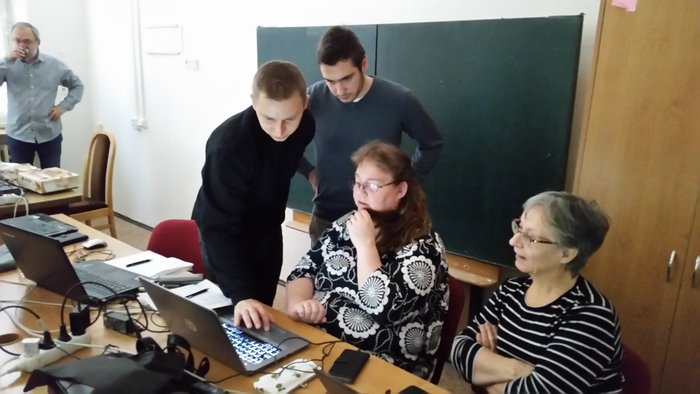
Discussion with lecturers
Faculty of Sience, Prague
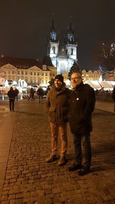
In the Old Town square, Prague
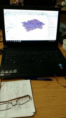
Map as a result
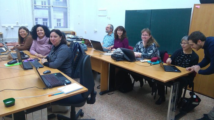
Photo break
Teachers with a university teacher
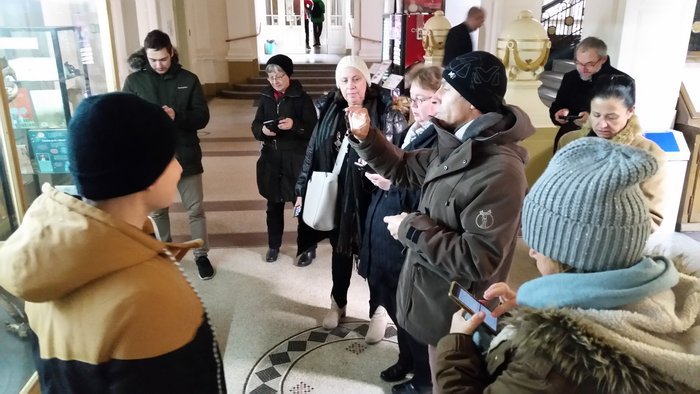
Walk with GAIA GPS application

With astronomical clock