Math and Geography - calculating distances
Short display of our work:
Collage of photos:
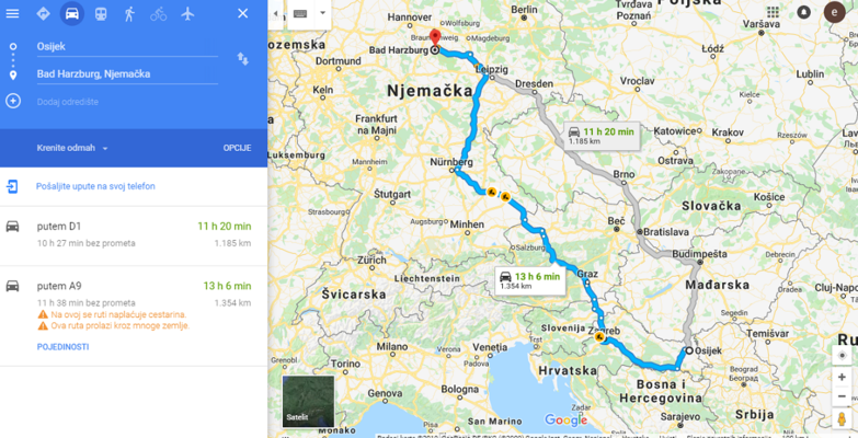
1.) FINDING OUR WAY
We decided to connect this activity with our next mobility and apply all tasks to our next trip. Big help was Google Maps - we explored where Bad Harzburg was situated and how we could get there from Osijek.
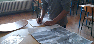
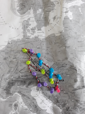
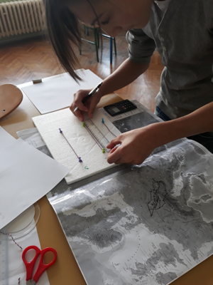
2.) FROM DIGITAL TO PAPER
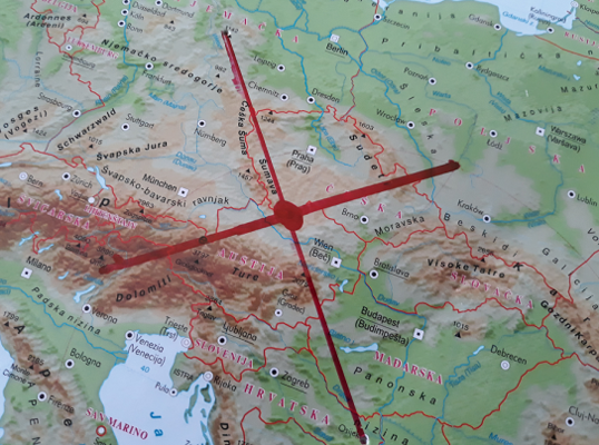
The next step was the transfer of our "digital" knowledge to a map of Europe. We marked our two cities and the possible routes. We used string and a measuring tape to calculate the distances, according to scale.
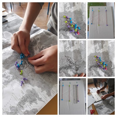
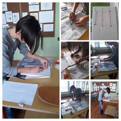
3.) CALCULATING DISTANCES
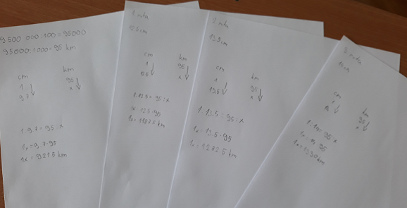
We explored three ground routes and an airway. The scale of the map was 1: 9 500 000. All distances were represented by string whose length was measured using a measuring tape. The real distances were calculated by using proportions.
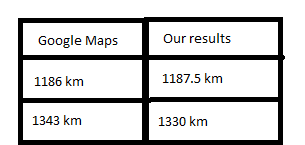
4.) RESULTS
Results of the measurement and calculation, and their comparison to the data achieved from Google Maps:
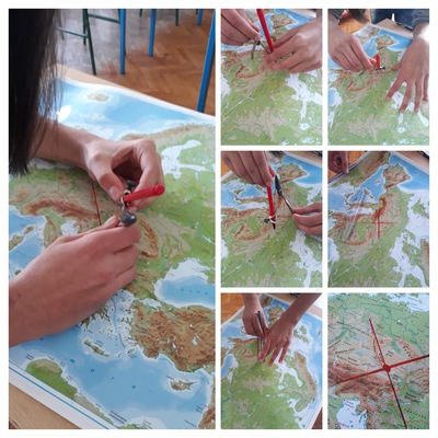
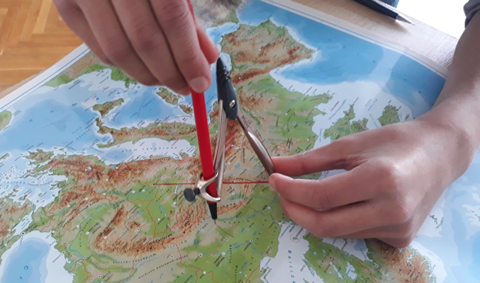
5.) MEET ME IN THE MIDDLE
By using a bisector, we graphically found a middle point between our two cities. It is just on the border of Austria and the Czech Republic.
Math and Geography - time differences
Our pupil Tena made a presentation about time differences due to the difference in longitude.