GPS Tracking mobility
(with 🇫🇷 Cyprien & Maxime 🇫🇷 - 🇪🇸 Silvia & Iratxe 🇪🇸)
We did a workshop dealing with GPS Tracking mobility. The goal of this workshop was to obtain our coordinates on a digital map.
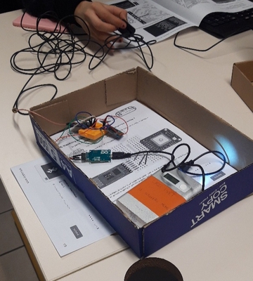
First, we connected the GPS Breakout (Arduino card + Antenna + Bluetooth module).
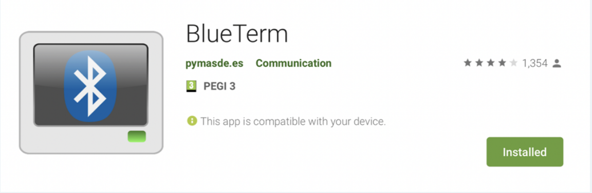
Then, we downloaded a Google Application called 'BlueTerm" to be able to connect our smartphone to the Bluetooth module.
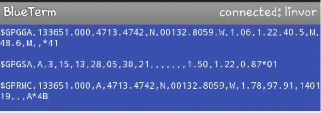
When, the application was connected to the module, we went outside in the school and we took screenshots of the application. So we obtained our coordinates.
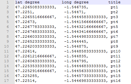
Then we filled an excel table with our longitude and our latitude thanks to the screenshots.
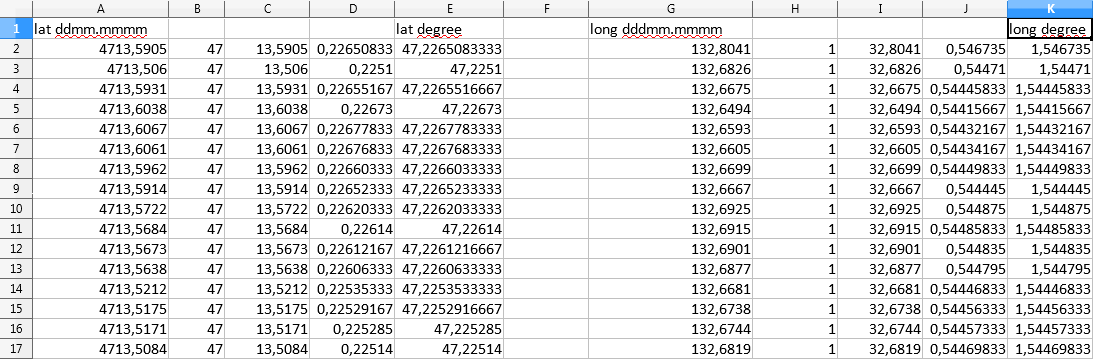
After that, we put this datas into a csv file(comma separator value). All the dots and the commas are very important.
Next, we opened the website "https://umap.openstreetmap.fr"
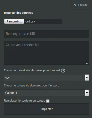
Finally we imported the csv file into the website and we obtained our coordinates !!!
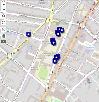
We can see many blue spots, these are the places where we took the screenshots !
The accuracy of the antenna isn't perfect because we can observe a point outside the shcool but we didn't go outside.
It was a hard work but we passed it with flying colours !
GPS Tracking Report Cyprien Tanguy Maxime.pptx
Cyprien Charlot & Maxime Garcia