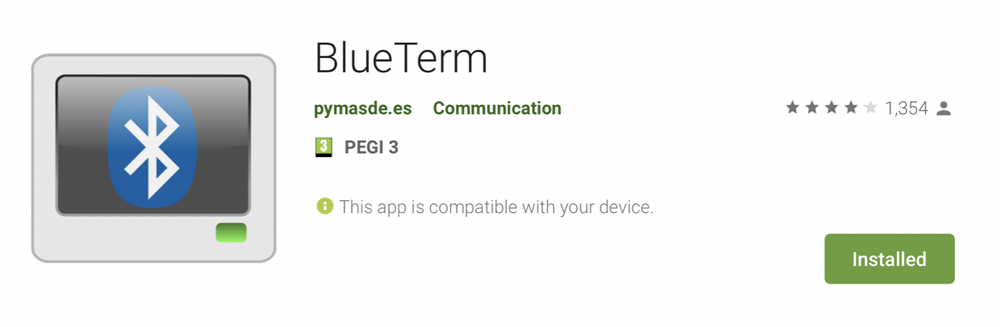
We have to download a Google application to be able to connect our smartphone to the HC05 Bluettoth module [just above oon the left].
After connected to the bluetooth module [called "linvor"] we can receive NMEA frame from the GPS device like that :
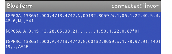
4713.4742 N means that our lattitude is 47 degree north and 13.4742 minutes.
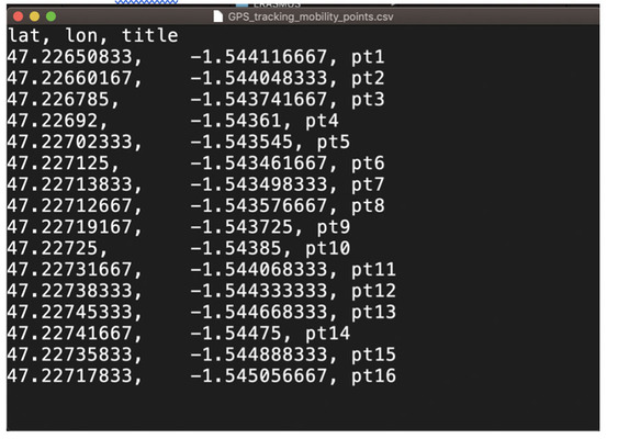
After convert all the coordonates to degree numbers we can add those localisation points in a CSV (Coma separator value) file like this :
At the end it is very easy to create a map from those beacons from the website
https://umap.openstreetmap.fr
You just have to import the CSV file in the "umap" map.
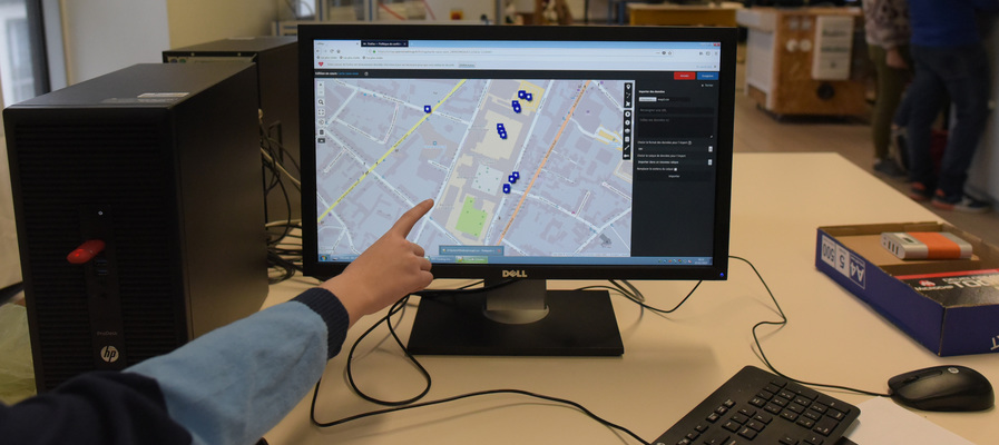
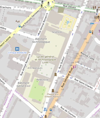
Here we see all the bacons embedded is the map.
Great job to this group for this work!