Rjukan-Notodden Industrial Heritage Site
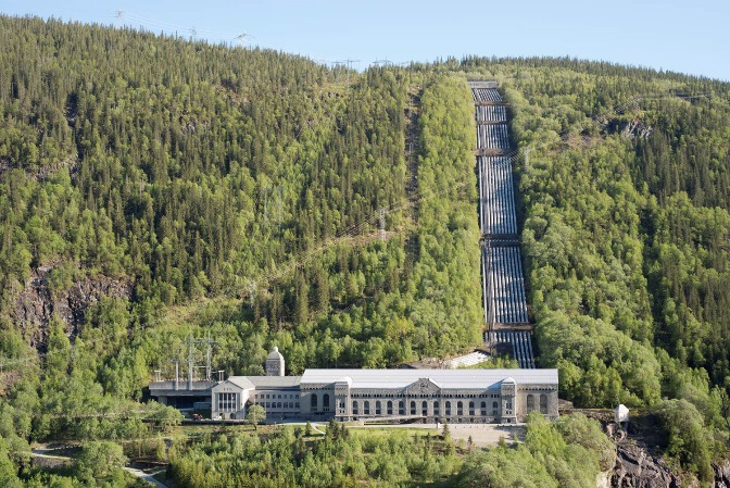
Rjukan-Notodden is an industrial site consisting of, among other things, hydroelectric power plants, factories, transport systems and towns. It was established by the Norsk-Hydro Company to manufacture artificial fertilizer. It was placed on the UNESCO-world heritage list in 2009. It’s located in Telemark. The surrounding industrial area around Rjukan and Notodden was placed on the UNESCO-world heritage list because of several reasons. It stands out as an example of the new global modern industry in the early 20th century. It is also very important for Norway’s history. During the II World War, when Norway was under the Nazi’s rule, there was an operation called “Tungtvannsaksjonen”. The production of the factories was very important to the Nazi’s nuclear energy research, and therefore there were a lot of sabotages to try and stop this. It was even blown up several times.
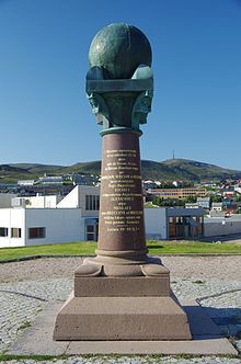
Struve Geodetic Arc
Struve Geodetic Arc is a chain of survey triangulations stretching from Hammerfest in Norway to the Black Sea, through ten countries and over 2,820km. The chain was established and used by scientist Friedrich Georg Wilhelm von Struve in the years 1816-1855 to establish the exact size and shape of the Earth.
In 2005 the chain was inscribed on the UNESCO World Heritage list as a memorable ensemble of the chain made up of 34 commemorative plaques or built obelisks out of the original 265 main station points which are marked by drilled holes in rock, iron crosses, cairns and others.
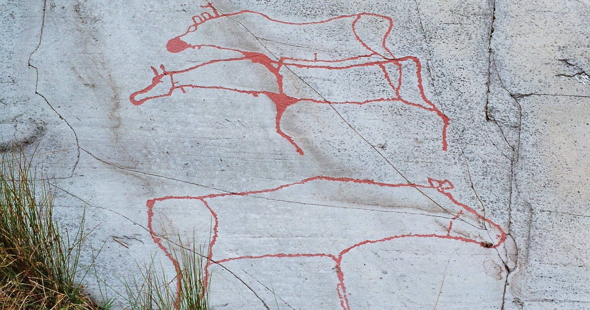
ALTA
The Rock Art shows communication between the world of the living and the worlds of the spirits, and gives insight into the cosmology of prehistoric hunters and gatherers.
Alta is a city in Finnmark. You can find Finnmark in the Northern Norway
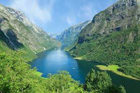
NÆRØYFJORD
Nærøyfjord is a fjord in the Aurland in Sogn og Fjordene, Norway.
The narrow fjord is a branch of the large Sognefjorden, and it featured on the “Norway in a Nutshell”, daytrips for tourists. The 18-kilomrter long fjord is only 500 meters. The river Nærørfjordalselvi flows down the valley. Nærøydalen into the fjord at the village of Gudvangen near the highway E 16.
Since 2005, the Nærøyfjord had been listed as a “National Geographic society as the world’s number one natural heritage site along with the Geirangerfjord.
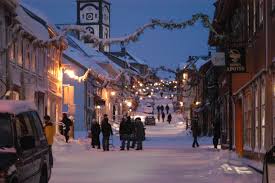
Røros
In 1980, Røros Bergstad, which is a result of the 333 year history of the Copper Workshop, was listed on the UNESCO list of the world's most conservative cultural heritage sites.
Røros Bergstad, with its surroundings, is a characteristic example of a significant traditional style in wood architecture and forms an outstanding mining town at an altitude of 600 meters above sea level.