Topographical map
This is a small video created by Juan Primo, our teacher member from Spain working in I.E.S. Universidad Laboral in Zamora.
He has designed a topographical map of the city of Zamora with some elements which define our city.
We think it could be a great idea to use this resource to create different topographical maps of the cities we belong to, or favourite students' cities, in order to print them and place them on an European map.
What do you think?
Size of the topographical cut:
Box Width:
0.07°
Box Height:
0.05°
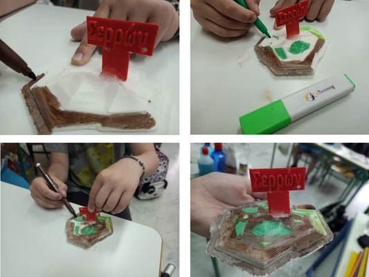
Sharing the students' topographical map of Serres [Nasos, Dimitris, Nestor and Alexandra].
Not as intented, not perfect, but it is the first one. The second one will be better....!!